“World Antique Laminated Map” has been added to your cart.
View cart
Showing 341–347 of 347 results
-
$3.99
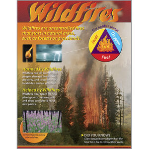
Check out this "hot" topic! Discover how wildfires are formed, as well as the good and bad effects they can have, with this handy chart. Extra value on back: reproducibles, tips, and teaching information. 17" x 22". Sturdy and durable.
-
-

$23.99
31X49 inch Full colour World Antique Laminated wall map! Up To date Wall Map in Old World Style!
-

$23.99
Wake up your walls with this colourful, contemporary and detailed political/physical World Wall Map with index of country and city names from MapArt. This up-to-date map is a great reference for the workplace, the classroom or at home. Map Features: Country names and capital cities Other world cities Mountains and elevations Colourful relief shading depicting…
-
$8.99
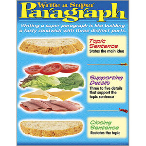
Writing a good paragraph is like building a tasty sandwich. Whet appetites for good writing with this fun chart! Extra value on back: reproducibles, tips, and teaching information. 17" x 22". Sturdy and durable.
-

-
$3.99
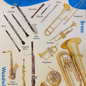
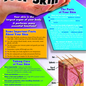
Chartlets are an excellent reference resource for students! Each measures 17 x 22 and includes a resource guide on the back. They are also available in a variety of topics, colors, and prints to support any classroom unit!